Sonoma County battens down as ‘atmospheric river' arrives
North Coast residents and emergency officials were making last-minute preparations Saturday for a massive storm to hit the area, bringing with it as much as 6 inches of rain to some elevated areas as well as the potential of flooding of low-lying roadways and the Russian River.
The National Weather Service said as of 11 a.m. that 0.81 of an inch of precipitation had fallen at Charles M. Schulz–Sonoma County Airport since midnight and almost another inch of rainfall should land in the area through 10 p.m.
A potent atmospheric river will then pass through the area after 10 p.m., leaving 2 to 3 inches in lower areas and from 4 to 6 inches in hills and mountains through Sunday morning, said Brian Mejia, a meteorologist for the service.
“It won't be raining all day (Saturday). We expect a break off and on,” Mejia said. “We do expect it to really pick up after 10 p.m.”
The storm also will bring stronger winds, raising the potential of downed trees as well as powerlines. Winds should be from 15 to 25 mph during the storm and reach up to 35 mph in some areas, Mejia said.
A break in the rainfall will likely not come until noon Monday, he said.
Given the predictions, emergency officials were urging residents to take precautions, especially driving in inclement weather. Along the Russian River, Monte Rio Fire Chief Steve Baxman was checking on business and residences near the river, especially low-lying campgrounds that are likely to flood.
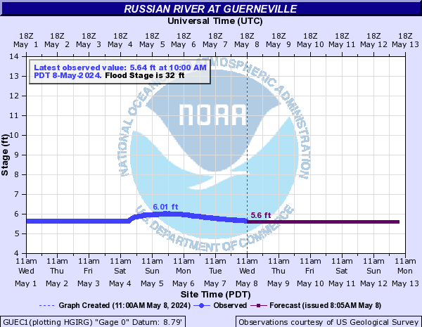
The Russian River at Guerneville was at 10.54 feet at 11 a.m. and was expected to peak at over 35 feet on Monday at 2 p.m., according U.S. Geological Service. The flood stage is 32 feet.
“We tell them it is better to be safe than sorry,” Baxman said.
Employees at Noel's Automotive in Monte Rio had already moved 15 cars to higher ground in advance of the storm, said owner Charles Brown.
Brown said he didn't use sandbags that are available at various locations around the county because it would likely not make a difference given that his very business on Main Street is very close to the river.
“It's just part of living next to the river,” Brown said. “We usually take water at 38 feet.”
His main concern on Saturday was securing enough water and food, and checking that his generator would work if power goes out.
Many others had the same idea. Over at the Oliver's Market at Stony Point Road, there was an uptick in customers Saturday morning, following a very packed Friday night.
“It was insanely busy yesterday,” said Dustin Cater, assistant store director. “It's been very consistent. The rain is definitely bringing people out.”
Bottled water and firewood were two top sellers, Cater said. “They also look for canned goods,” he said. “Chicken noodle soup was gutted.”
Residents who need to do last-minute shopping or chores should do them as soon as possible and avoid travelling on Sunday if they can, said Zach Hamill, emergency coordinator for Sonoma County.
“Tomorrow is going to be really wet and windy,” Hamill said.
County officials also were keeping an eye on areas such as Valley Ford and Green Valley Road that are known to flood with high amounts of rain, he said. While locals generally know avoid such areas during a flood watch, there is concern that some visitors may not heed such warnings, he said.
The weather service on Friday issued a flash flood watch for streams and rivers in the North Bay hills and valleys, and around the rest of the San Francisco Bay Area from Saturday afternoon through Sunday evening.
Local waterways are likely to rise rapidly and cause flooding, the agency said, calling it a “very dangerous situation.”
Folks on Sonoma Mountain on Friday had braced for the wild weekend, stocking refrigerators and making sure their propane supply is adequate, said Al Janulaw, a 43-year resident on Eagle Ridge Road near Penngrove.
“Everybody knows what's going on,” he said.
Janulaw and about 40 nearby households feel especially vulnerable with Copeland Creek already running along the edge of Lichau Road, their only way on or off the mountain, and likely to flood the road just as it did a couple of weeks ago, he said.
That overflow left rocks strewn on Lichau Road, leaving it largely impassable until county road crews cleared the way.
Flood and flash flood watches have also been posted through the weekend for Marin County and the coastal area from San Francisco to Monterey County, as well as the west slope of the Sierra, with debris flows and rock slides possible along with the flooding.
People are definitely in a state of panic right now,” said El Dorado County Sheriff's Sgt. Todd Hammitt. “We're getting a lot of calls asking if we're going to be able to deal with everything. It's the general pandemonium of not knowing what's coming.”

UPDATED: Please read and follow our commenting policy: